
20 May 3D Rendering vs. Virtual Tours vs. Drone Photography: Which Visualization Format Sells Properties Fastest?
Three Formats, Three Jobs: Understanding the Differences
Every property visualization format exists to solve a specific problem. The mistake most marketing leads make is treating 3D rendering, virtual tours, and drone photography as interchangeable line items in a creative brief. They are not. Each format excels at a distinct job, and understanding those jobs is the first step toward allocating budget where it actually moves properties.
3D Rendering: Photorealistic Stills for Properties That Don’t Exist Yet
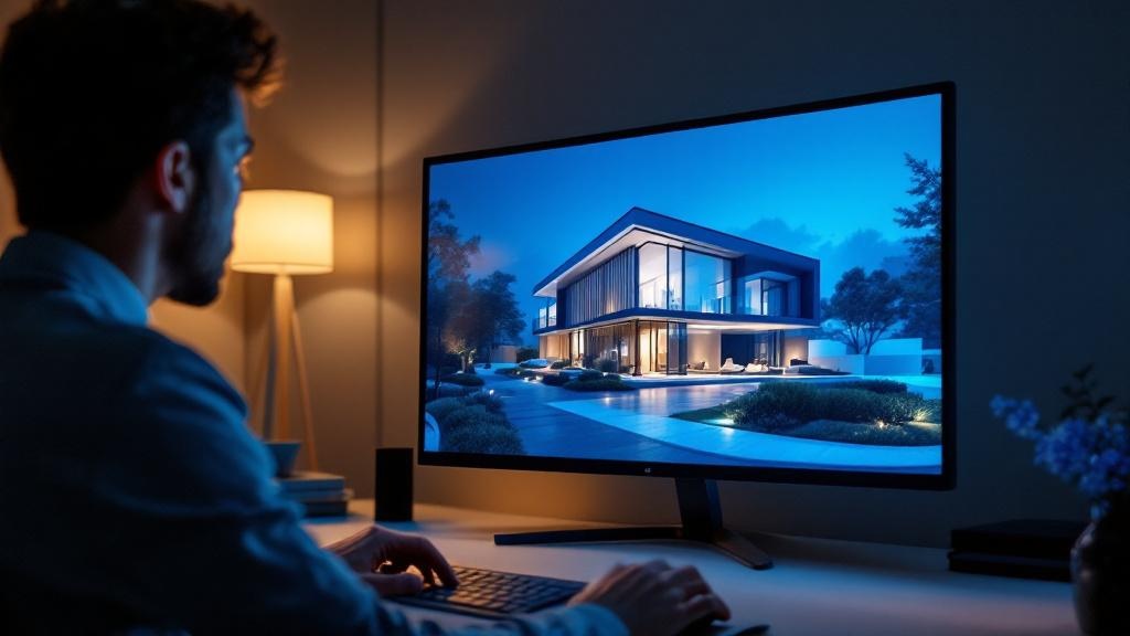
3D rendering produces photorealistic still images — typically exterior perspectives, interior vignettes, or aerial bird’s-eye views — from architectural drawings and 3D models. These images are the backbone of pre-construction marketing: brochure hero shots, web listing lead images, and investor pitch decks. Because the output is a controlled, art-directed composition, renders can showcase a property at its most aspirational — perfect lighting, finished interiors, landscaped surroundings — months or years before construction begins.
For pre-sales campaigns where there is no physical asset to photograph, 3D rendering is not optional. It is the only way to give buyers something tangible to evaluate.
Virtual Tours: Immersive Experiences for Remote Decision-Making
Virtual tours span a wide spectrum, from 360° photo-based walkthroughs captured with cameras like the Matterport Pro series to fully computer-generated interactive environments built in game engines. What unifies them is immersion: the viewer controls their movement through a space, examining rooms, finishes, and sightlines at their own pace.
This format has become critical for remote buyers and site-unseen purchase decisions. In Japan’s cross-border investment market — where foreign acquisition of residential properties doubled to 3.0% of Tokyo transactions in the first half of 2025 — virtual tours function as a proxy for physical presence. A survey of 1,000 buyers found that 55% would purchase a property sight-unseen if provided a quality 3D walkthrough.
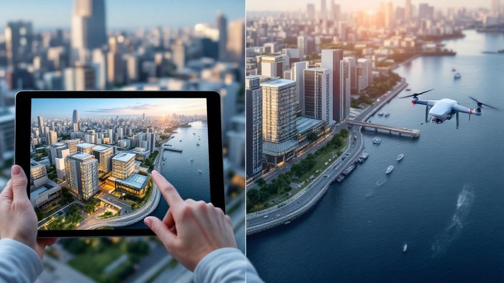
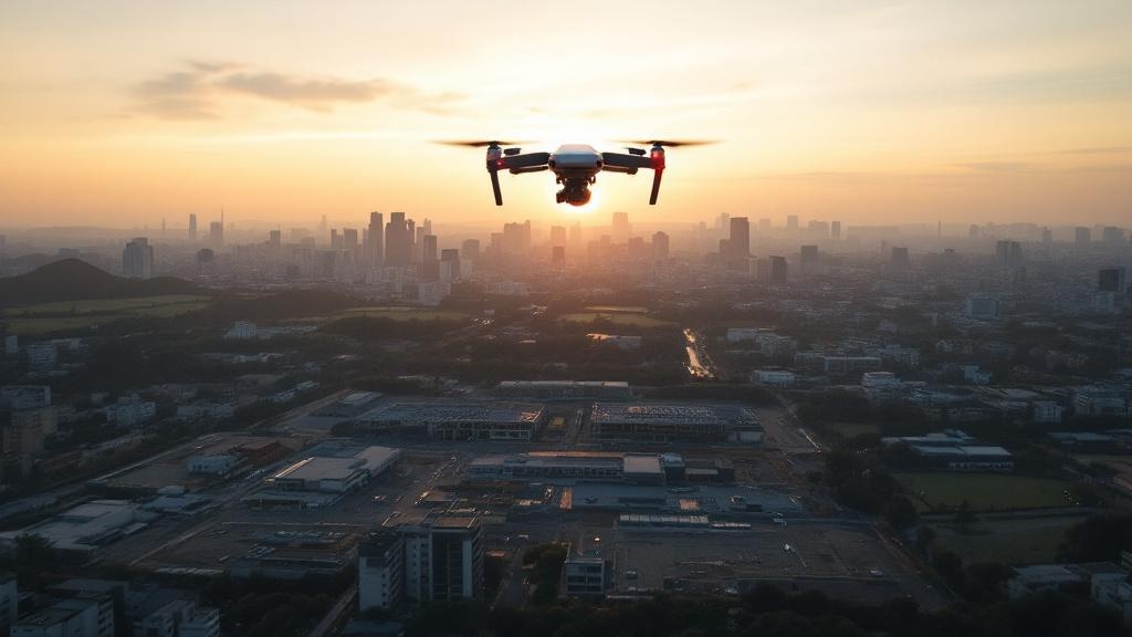
Drone Photography and Videography: Aerial Context at Scale
Drone photography delivers what ground-level imagery cannot: site scale, neighborhood positioning, proximity to transit or amenities, and the spatial relationship between a development and its surroundings. For large-scale projects, land sales, and developments where location context is the primary selling point, aerial footage tells the story more efficiently than any floor plan or interior render.
Japan’s drone market has grown rapidly, with the broader domestic drone business reaching ¥3,854 billion in FY2023 — a 23.9% year-over-year increase. Regulatory reforms, including the national licensing system introduced in December 2022, have made commercial drone operations more accessible and predictable for real estate applications.
What the Data Says About Sales Impact
Marketing budgets demand justification. The good news for visualization advocates is that the empirical evidence is unusually strong across all three formats.
Virtual Tours Compress Sales Timelines
A peer-reviewed study published in *Information Systems Research*, analyzing 43,000 transactions on a major real estate platform, found that properties with VR tours sold in an average of 19 days — down from 34 days without tours. That is a 44% reduction in time-on-market. The researchers attributed the effect not to price manipulation but to improved information transparency: buyers who could explore a property virtually made faster, more confident decisions.
A separate analysis by Matterport and Texas Tech University, covering 140,000 MLS records from 2016–2019, confirmed that 3D-listed properties sold at 4–9% higher prices and closed up to 31% faster in certain regional markets.
Video Listings Drive Inquiry Volume
The National Association of Realtors (NAR) has consistently reported that listings with video generate 403% more inquiries than those without. This figure encompasses all video formats — walkthrough tours, aerial drone footage, and cinematic property films — but the scale of the difference is instructive. Buyers do not just prefer visual content; they overwhelmingly act on it.
In Japan, Cushman & Wakefield’s domestic operations reported that Matterport 3D tours delivered over 300% higher engagement compared to 2D photography, leading the firm to deploy virtual tours across its entire commercial property portfolio.
The Sight-Unseen Purchase Threshold
Perhaps the most commercially significant data point: 55% of surveyed buyers indicated willingness to purchase a property without visiting it in person, provided a quality 3D walkthrough was available. For Japan’s growing cross-border investment market — where foreign residential investment reached ¥740 billion in 2024 — this threshold is not theoretical. It is the operating reality.
Cost Benchmarks by Format (Japan Market, 2025–2026)
Understanding the sales impact data is essential, but budget allocation requires pricing specifics. The following benchmarks reflect current Japan-market rates drawn from industry pricing surveys and vendor data.
CGI Still Renders
| Complexity | Price Range (JPY) | Typical Use Case |
|---|---|---|
| Residential exterior (freelancer) | ¥15,000–¥50,000 | Small-scale housing, renovation marketing |
| Residential exterior (mid-tier studio) | ¥50,000–¥100,000 | Condominium brochures, web listings |
| Commercial / hotel (specialist studio) | ¥100,000–¥300,000 | Investor presentations, luxury marketing |
Japan’s CG rendering market sits in a ¥50,000–¥150,000 sweet spot for photorealistic work — higher than Southeast Asian offshore pricing (¥10,000–¥50,000 per shot) but lower than European studios. The premium reflects Japan’s emphasis on architectural precision and drawing-faithful accuracy.
360° Virtual Tours
| Tour Type | Price Range (JPY) | Notes |
|---|---|---|
| Photo-based 360° (basic, ≤80㎡) | ¥35,200+ | Camera capture only |
| Photo-based 360° (10-point package) | ¥35,000–¥110,000 | Standard listing package |
| Matterport 3D scan (50–100㎡) | ¥200,000–¥500,000 | Interactive dollhouse view included |
| Full-CG virtual tour | ¥1,500,000–¥3,500,000 | Pre-construction, fully modeled environments |
The cost gap between photo-based and full-CG tours is significant. For existing properties, a 10-point 360° photo tour at ¥35,000–¥110,000 offers the strongest cost-to-impact ratio. For pre-construction projects requiring full-CG environments, budgets climb into the millions of yen — but these tours replace physical showrooms that would cost far more.
AI-Assisted Alternatives
A notable entrant in the Japanese market is RealtyBank’s “Digital Plan” service, which generates 360° VR tours from floor plans at ¥13,200 per image. While quality does not match hand-crafted CG work, this price point opens virtual tour production to smaller agencies and individual property owners who previously could not justify the investment.
Drone Photography and Videography
| Service | Price Range (JPY) | Includes |
|---|---|---|
| Photo-only flight (20 min, ~20 shots) | ¥40,000–¥100,000 | Insurance, basic post-processing |
| Video (raw footage only) | ¥60,000–¥120,000 | No editing, BGM, or titles |
| Video with full editing | ¥100,000–¥300,000 | BGM, captions, color grading |
Average transaction price for drone photography on Japanese freelance platforms sits at ¥57,721, with the range spanning ¥24,150 to ¥68,500 for standard shoots. Rush jobs (under 3 days) typically add a 20–50% surcharge. Compared to traditional helicopter aerial photography at ¥500,000–¥1,000,000 per flight, drone photography for property marketing represents a 70–90% cost reduction for equivalent coverage.
Matching Format to Project Stage and Buyer Type
The best visualization format for real estate sales is the one matched to the specific project context. Here is how to allocate.
Pre-Construction Condominiums → 3D Rendering
When there is no physical structure to photograph, 3D rendering is the only viable option. Pre-construction condominium marketing in Japan relies heavily on photorealistic exterior perspectives, interior vignettes showing unit layouts and finish options, and bird’s-eye views placing the development in its neighborhood context. The ability to visualize a completed property — often two to three years before delivery — is what converts buyer deposits into signed contracts.
Existing Luxury Properties → Virtual Tour + Drone
For high-value existing properties targeting foreign investors, the combination of immersive virtual tours and aerial drone footage creates a comprehensive remote viewing package. Virtual tours let buyers inspect interior finishes, spatial flow, and room dimensions at their own pace, while drone footage establishes location value — proximity to stations, surrounding cityscape, and neighborhood character. Given that 89% of surveyed Chinese investors expressed interest in online property tours for Japanese real estate, this combination directly addresses the dominant cross-border buyer segment.
Large-Scale Developments and Land Sales → Drone Mapping + Aerial Video
When site context is everything — as it is for greenfield developments, resort projects, and raw land transactions — drone photography for property marketing is the lead format. Aerial mapping communicates site boundaries, topography, access roads, and surrounding infrastructure far more efficiently than ground-level photography. For Japan’s regional development projects, where investors evaluate sites from overseas, drone video with annotation overlays often replaces the initial site visit entirely.
Leasing Campaigns for Office and Retail → Hybrid Package
Commercial leasing campaigns benefit from a layered approach: still renders for portal listings where thumbnail image quality drives click-through rates; virtual tours for shortlisted tenants conducting remote evaluation before committing to physical visits. The hybrid approach matches format to funnel stage — stills for awareness, tours for consideration — maximizing conversion at each step without overspending on any single format.
The Multi-Format Bundle: Why Top Performers Combine All Three
The question of 3D rendering vs. virtual tour for real estate is ultimately a false choice. The highest-performing property marketing programs treat these formats as complementary components of a unified visual strategy.
Shared Assets Reduce Per-Format Costs
When a vendor produces all three formats for a single property, significant cost efficiencies emerge. A 3D model built for rendering can be repurposed as the foundation for a virtual tour. A single drone site visit captures both aerial photography and reference footage used to place CG renders in accurate environmental context. Interior photography shot for a virtual tour simultaneously provides reference material that accelerates CG artist work on additional renderings.
These shared-asset efficiencies typically reduce bundled project costs by 15–25% compared to commissioning each format independently from separate vendors. The savings come from eliminating redundant site visits, reusing 3D geometry across outputs, and consolidating project management overhead.
Cross-Format Consistency Builds Buyer Confidence
When brochure renders, virtual tours, and aerial footage share consistent lighting, color grading, and visual tone, buyers perceive a coordinated, trustworthy marketing effort. Inconsistency between formats — a warm-toned render paired with a cool-toned tour, or aerial footage showing a different construction stage than the CG exterior — erodes credibility at the moment buyers are building confidence in their purchase decision.
Working with a single provider across formats ensures visual consistency without the coordination overhead of managing multiple vendor relationships. For bilingual projects serving both Japanese and international audiences, a single provider also maintains consistency across language versions of marketing materials.
One Site Visit, Three Deliverable Streams
The most efficient production model sends a combined team — drone operator, 360° camera operator, and CG reference photographer — to a single site visit. In one coordinated session, the team captures aerial footage for drone deliverables, interior 360° photography for virtual tour assembly, and site reference data (measurements, material samples, lighting conditions) that inform subsequent CG rendering work.
This workflow minimizes property access requirements (critical for occupied buildings or active construction sites), compresses production timelines, and ensures all formats are produced from the same ground truth. For DMPJ’s full-spectrum visualization services, this integrated production approach is core to how bundled projects deliver both cost efficiency and visual coherence.
Choosing Your Format Mix
The virtual tour vs. 3D rendering cost comparison matters, but it is secondary to the strategic question: what is your property, who is your buyer, and what decision are you asking them to make?
For a pre-construction condominium targeting domestic buyers, photorealistic 3D renders are non-negotiable. For an existing luxury apartment targeting overseas investors, a virtual tour plus drone aerial is the minimum viable package. For a large mixed-use development where location is the primary value proposition, drone imagery leads and everything else supports.
And for organizations serious about competing at the top tier of Japan’s property market — where foreign investment hit ¥4.66 trillion in 2024 and online viewings have become standard practice for 37% of domestic renters — the answer is not one format. It is all three, produced as a unified package that tells a consistent story across every buyer touchpoint.
Rather than choosing one format, the highest-performing property marketing combines 3D rendering, virtual tours, and drone imagery into a cohesive visual package. DMPJ delivers all three under one roof. Explore DMPJ’s rendering, virtual tour, and drone imaging options to see how a bundled approach works in practice.
Sorry, the comment form is closed at this time.